Open popup
x
Choose Which Site You Want To See
Search
A
B
C
D
E
F
G
H
I
J
K
L
M
N
O
P
Q
R
S
T
U
V
W
X
Y
Z
0-9
Browse by Store
1
2
3
4
5
Next
List view
Grid view
Compact
Explorer Active OL 57 Cairn Gorm & Aviemore Map
Click For Info
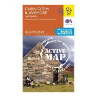
Ordnance Survey Explorer Active OL 57 Cairn Gorm & Aviemore Map, Orange
Click For Info
Ordnance Survey Explorer Active OL 57 Cairn Gorm & Aviemore Map, Orange
Click For Info
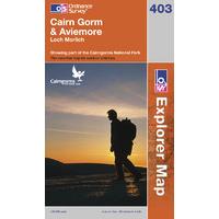
Cairn Gorm & Aviemore - OS Explorer Active Map Sheet Number 403
Click For Info
Cairn Gorm & Aviemore - OS Explorer Map Sheet Number 403
Click For Info
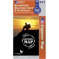
Ordnance Survey Explorer Active 417 Monadhliath Mountains North & Strathdearn Map, Orange
Click For Info
Ordnance Survey Explorer Active 417 Monadhliath Mountains North & Strathdearn Map, Orange
Click For Info
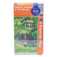
Ordnance Survey Explorer Active 242 Telford, Ironbridge & The Wrekin Map, Assorted
Click For Info
Ordnance Survey Explorer Active 242 Telford, Ironbridge & The Wrekin Map, Assorted
Click For Info
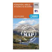
Ordnance Survey Explorer Active 445 Foinaven, Arkle, Kylesku & Scourie Map With Digital Version, Orange
Click For Info
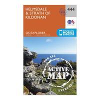
Ordnance Survey Explorer Active 444 Helmsdale & Strath of Kildonan Map With Digital Version, Orange
Click For Info
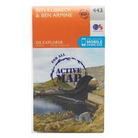
Ordnance Survey Explorer Active 443 Ben Klibreck & Ben Armine Map With Digital Version, Orange
Click For Info
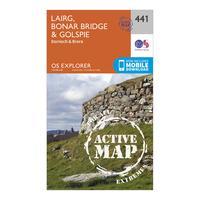
Ordnance Survey Explorer Active 441 Lairg, Bonar Bridge & Golspie Map With Digital Version, Orange
Click For Info
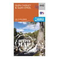
Ordnance Survey Explorer Active 440 Glen Cassley & Glen Oykel Map With Digital Version, Orange
Click For Info
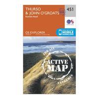
Ordnance Survey Explorer Active 451 Thurso & John o\'Grates Map With Digital Version, Orange
Click For Info
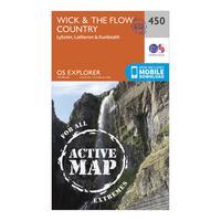
Ordnance Survey Explorer Active 450 Wick & The Flow Country Map With Digital Version, Orange
Click For Info
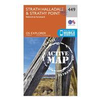
Ordnance Survey Explorer Active 449 Strath Halladale & Strathy Point Map With Digital Version, Orange
Click For Info
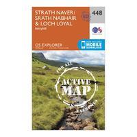
Ordnance Survey Explorer Active 448 Strath Naver & Loch Loyal Map With Digital Version, Orange
Click For Info
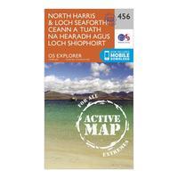
Ordnance Survey Explorer Active 284 North Harris & Loch Seaforth Map With Digital Version, Orange
Click For Info
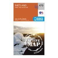
Ordnance Survey Explorer Active 470 Shetland - Unst, Yell & Fetlar Map With Digital Version, Orange
Click For Info
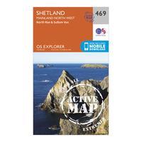
Ordnance Survey Explorer Active 469 Shetland - Mainland North West Map With Digital Version, Orange
Click For Info
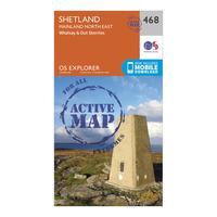
Ordnance Survey Explorer Active 468 Shetland - Mainland North East Map With Digital Version, Orange
Click For Info
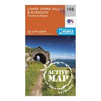
Ordnance Survey Explorer Active 108 Lower Tamar Valley & Plymouth Map With Digital Version, Orange
Click For Info
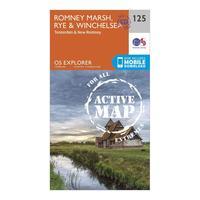
Ordnance Survey Explorer Active 125 Romneys Marsh, Rye & Winchelsea Map With Digital Version, Orange
Click For Info
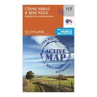
Ordnance Survey Explorer Active 117 Cerne Abbas & Bere Regis Map With Digital Version, Orange
Click For Info
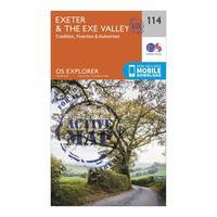
Ordnance Survey Explorer Active 114 Exeter & The Exe Valley Map With Digital Version, Orange
Click For Info
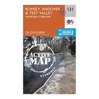
Ordnance Survey Explorer Active 131 Romsey, Andover & Test Valley Map With Digital Version, Orange
Click For Info
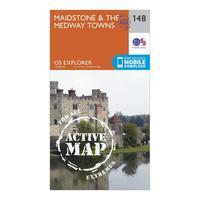
Ordnance Survey Explorer Active 148 Maidstone & The Medway Towns Map With Digital Version, Orange
Click For Info
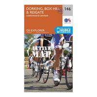
Ordnance Survey Explorer Active 146 Dorking, Box Hill & Reigate Map With Digital Version, Orange
Click For Info
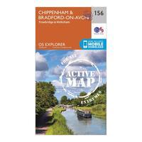
Ordnance Survey Explorer Active 156 Chippenham & Bradford-on-Avon Map With Digital Version, Orange
Click For Info
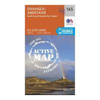
Ordnance Survey Explorer Active 165 Swansea, Neath & Port Talbot Map With Digital Version, Orange
Click For Info
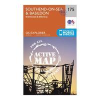
Ordnance Survey Explorer Active 175 Southend-on-Sea & Basildon Map With Digital Version, Orange
Click For Info
Ordnance Survey Explorer Active 174 Epping Forest & Lee Valley Map With Digital Version, Orange
Click For Info
Ordnance Survey Explorer Active 194 Hertford & Bishop\'s Stortford Map With Digital Version, Orange
Click For Info
Ordnance Survey Explorer Active 191 Banbury, Bicester & Chipping Norton Map With Digital Version, Orange
Click For Info
Ordnance Survey Explorer Active 190 Malvern Hills & Bredon Hill Map With Digital Version, Orange
Click For Info
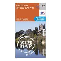
Ordnance Survey Explorer Active 189 Hereford & Ross-on-Wye Map With Digital Version, Orange
Click For Info
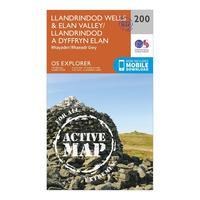
Ordnance Survey Explorer Active 200 Llandrindod Wells & Elan Valley Map With Digital Version, Orange
Click For Info
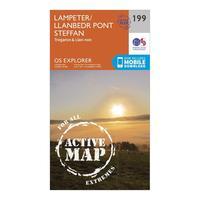
Ordnance Survey Explorer Active 199 Lampeter, Tregaron & Llan-non Map With Digital Version, Orange
Click For Info
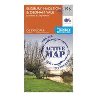
Ordnance Survey Explorer Active 196 Sudbury, Hadleigh & Dedham Vale Map With Digital Version, Orange
Click For Info
1
2
3
4
5
Next
A
B
C
D
E
F
G
H
I
J
K
L
M
N
O
P
Q
R
S
T
U
V
W
X
Y
Z
0-9
Browse by Store
Search